Whanganui River
With a length of 290 kilometres (180 mi), the Whanganui is the country’s third-longest river. Much of the land to either side of the river’s upper reaches is part of the Whanganui National Park, though the river itself is not part of the park.
The river rises on the northern slopes of Mount Tongariro, one of the three active volcanoes of the central plateau, close to Lake Rotoaira. It flows to the north-west before turning south-west at Taumarunui. From here it runs through the rough, bush-clad hill country of the King Country before turning south-east and flowing past the small settlements of Pipiriki and Jerusalem, before reaching the coast at Whanganui. It is the country’s longest navigable river.
The Whanganui River has always been an important communication route to the central North Island, both for Māori and for settlers. It is, however, also a difficult river, with many stretches of white water and over 200 rapids. Despite this for many years it was the principal route to the interior.
Although it was already a significant route to the interior, the major development of the river as a trade route was by Alexander Hatrick, who started the first regular steam-boat service in 1892. The service eventually ran to Taumarunui where rail and coach services connected with points north. One of Hatrick’s original boats, paddle-steamer PS Waimarie, has been restored and runs scheduled sailings in Whanganui. Another of the Hatrick boats, MV Wairua has also been restored and can be seen on the river.
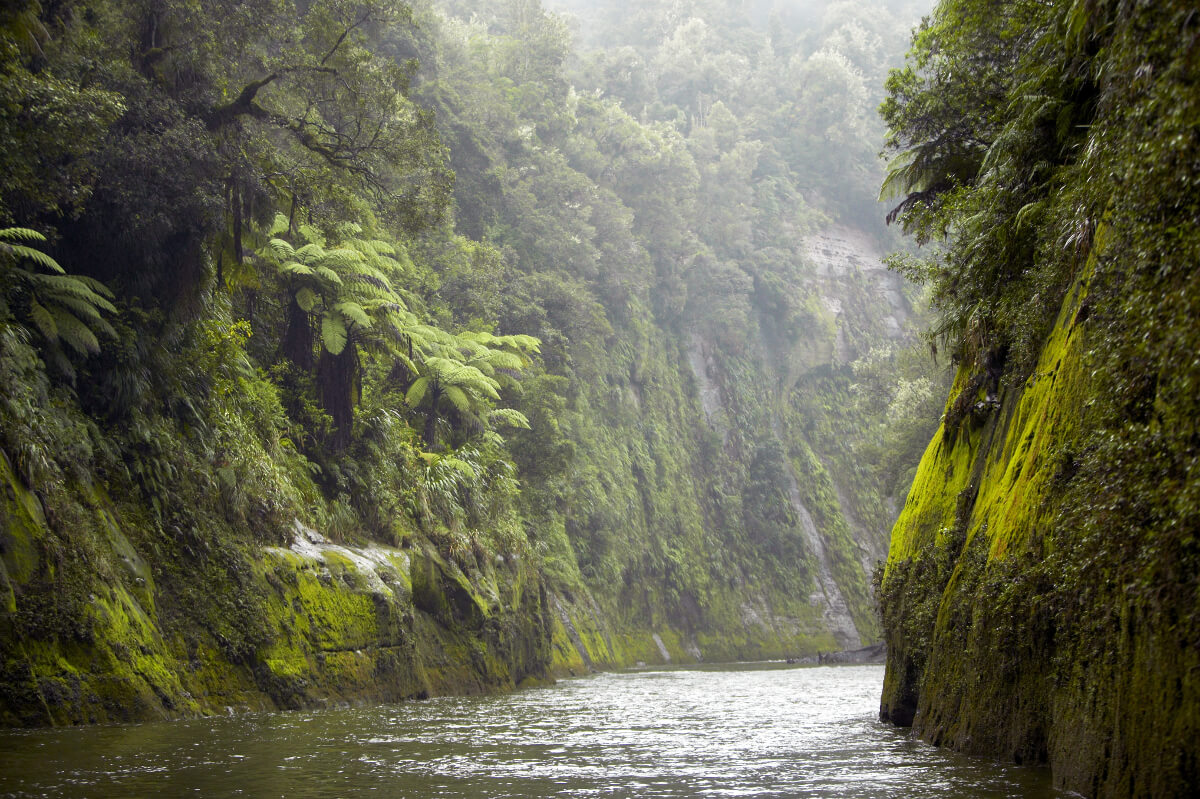
During the early 20th century, the Wanganui River, as it was then called, was one of the country’s top tourist attractions, its rugged beauty and the Māori kainga (villages) which dotted the banks attracting thousands of tourists per year.
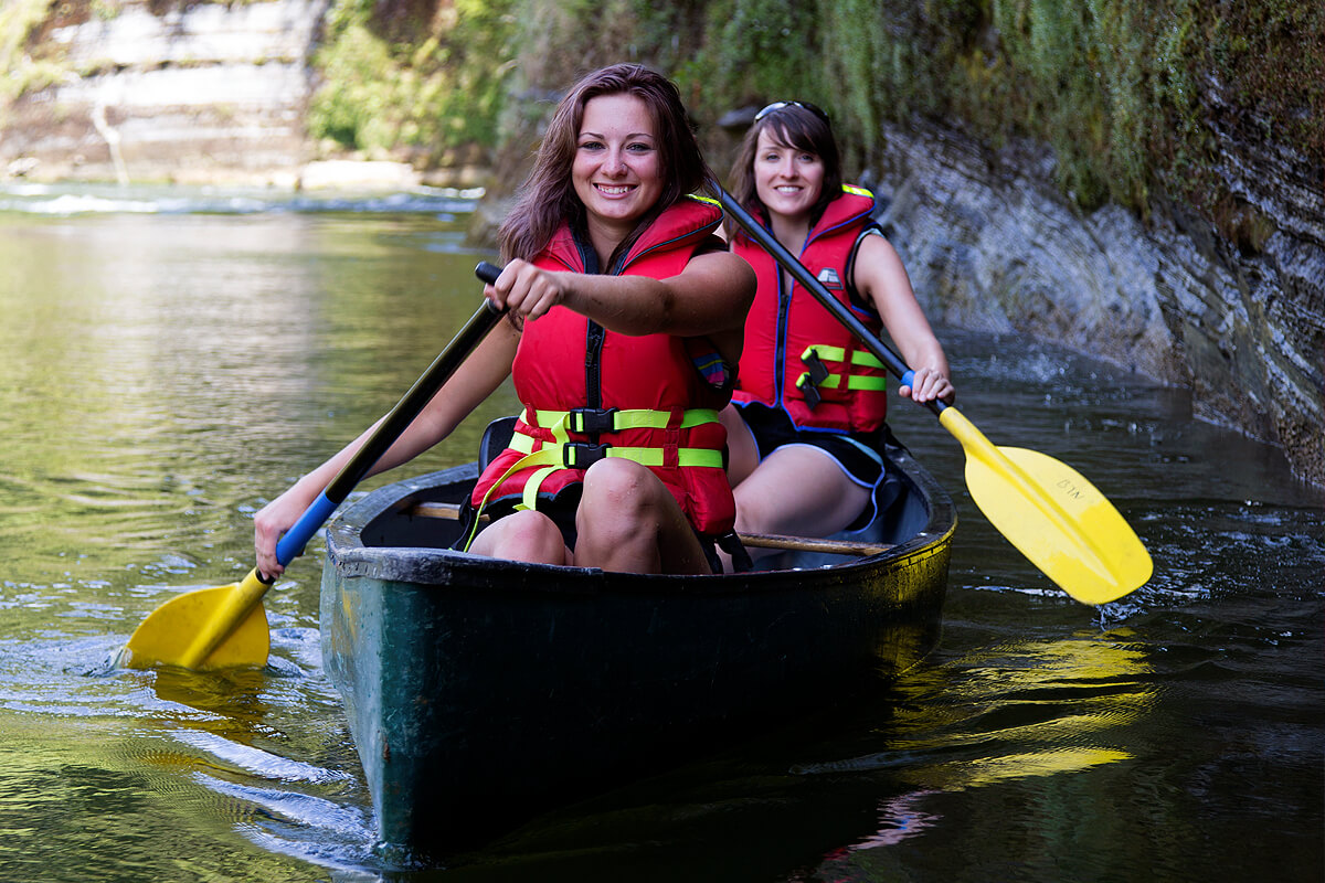
Today a visit to the Whanganui River provides a rich historical experience and an opportunity to enjoy a range of activities in an area where to some extent time has stood still.


